
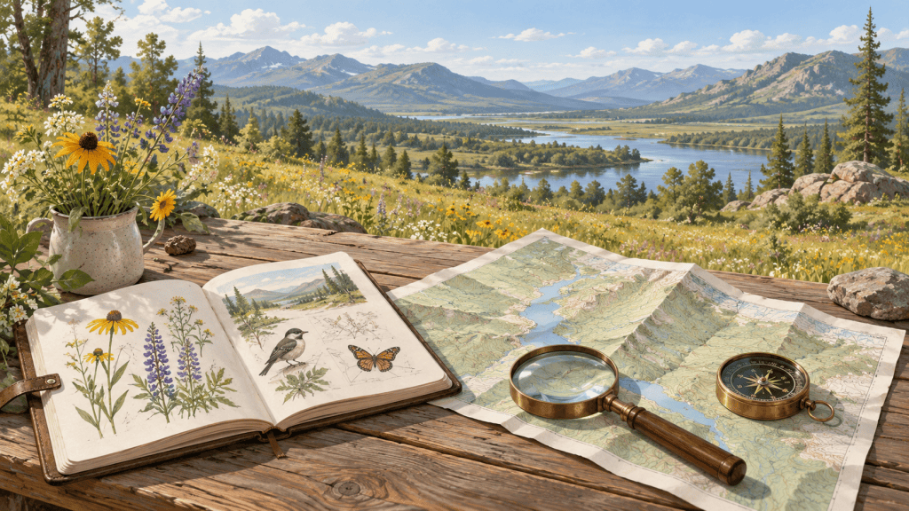
Which map answers my question, and what can I safely infer from it?
Choose a map for its purpose, date, scale and layers. Read the actual product metadata and legend. A map can describe a place without proving its present condition or granting access to it.
Evidence checked October 15, 2026. No hands-on testing.
Begin with the decision
Are you studying a place today, comparing an older landscape, or examining a Colorado trail? Those tasks call for different products. The USGS topographic-map hub separates current US Topo, historical maps and custom products. Start there instead of assuming the first map image in a search result is the right one.
Choose a product and record its limits
- Confirm the place. Match the location name, state and extent. Similar names can identify different places. Keep the area you need inside the map coverage.
- Choose the purpose and date. Use topoView for comparisons between editions or older place names. For a present-day task, inspect the selected product’s information rather than treating the date you downloaded it as the date the ground was surveyed.
- Read the exact scale. A scale such as 1:24,000 compares the same unit on the map and ground. The USGS help guide explains that the compact “24K” interface filter groups several actual scales. Read the selected map’s stated ratio; do not infer it from the filter label alone.
- Read the legend and elevation information. Contours join points of equal elevation; the contour interval and units matter. Symbols differ between products and periods. Use the legend for that map rather than assuming one symbol guide covers every edition.
- Check the relevant layers and authority. A basemap, historical road line and trail-use layer answer different questions. COTREX is a Colorado trail resource, with features described by Colorado Parks and Wildlife. Confirm current conditions and permissions with the responsible authority before relying on a route for an outing.
- Plan how you will access the information. If the task requires an offline map, obtain it beforehand and check it on the actual device. Printing, storage, battery and connectivity are practical dependencies. This review did not test those functions.
- Save the map’s identity. Record title, edition/date, scale, important layers, source and download date. Keep unresolved details with the record so another person can see the same limits.
Use scale without mixing units
Illustrative arithmetic: at the stated scale 1:24,000, 3 centimeters on an original-scale map represent 72,000 centimeters, or 720 meters, on the ground. This is a scale calculation, not a measured route. A path can be longer than a straight line between its endpoints.
A screen zoom or resized print changes the relationship between a ruler and the original stated ratio. Check the map’s scale bar and print settings before measuring. Do not measure the teaching diagrams in this guide as if they were a navigation map.
Match the map resource to the task
| Need | Useful starting resource | Important limit |
|---|---|---|
| Current U.S. topographic product | USGS Topographic Maps access hub | Read the chosen product and layer metadata; no individual map was verified here. |
| Historical comparison or older feature name | USGS topoView | An older depiction does not establish present existence, condition or access. |
| Scale, symbols and map-date interpretation | USGS topoView Help | Use the selected product’s exact ratio and legend. |
| Colorado trail information | COTREX and CPW’s feature description | Allowed-use information and offline features were described, not field-tested. |
Decision map: check purpose, interpretation and use
Right map for the question?
Choose current, historical or activity-specific information and confirm the place.
Scale and metadata understood?
Read the actual ratio, map dates, legend and relevant layers.
Ready for the intended use?
Check current authority and conditions, and test any needed offline access.
Text alternative: Choose the map product first, then examine how to interpret it, then confirm the current information and access method needed for your actual task.
Costs and alternatives
USGS describes free digital downloads, and CPW describes COTREX as free. Printing, equipment and data access have separate costs. A printed map can reduce reliance on one device, but it still needs the right coverage, scale and date. A land manager or local records office may answer a specific access or historical question better than another general map.
Avoid these common errors
- Calling a map current because the website was recently updated.
- Assuming a trail or road line proves public access.
- Confusing the interface’s scale group with the map’s exact scale.
- Using an old name or symbol without checking edition and context.
- Discovering after leaving connectivity that the needed map was not stored on the device.
Your next useful action
Select one map for one question. Complete a short record of place, purpose, product, edition, ratio, layer dates and unresolved conditions before using it to make the decision.
Resources and their limitations
USGS Topographic Maps access hub
Desk-reviewed. U.S. Geological Survey / National Geospatial Program
A reliable first place to choose between current US Topo, custom maps and historical maps rather than treating all map products as the same.
Access and cost: USGS describes free digital map downloads; paper, printing and equipment can have separate costs. No map download or custom-map job was run.
Use it: Choose the required product and follow the official downloader or builder link. Read the selected map's metadata and legend.
Basis and limits: The hub is not a land-access permission or a live conditions report. No individual map's accuracy, coverage or suitability was tested.
Alternatives: topoView for historical comparisons; COTREX for Colorado trail information; the responsible land manager.
USGS topoView
Desk-reviewed. U.S. Geological Survey / National Geologic Map Database
Useful for comparing a place across map editions and locating older names or landscape features.
Access and cost: Public interface and links to map downloads in several formats. No individual file or map export was tested.
Use it: Open Get Maps, locate the area, then compare map date, edition, scale and product type before downloading.
Basis and limits: Historical maps can show obsolete routes or names. Archive availability is not proof that a depicted feature still exists or may be accessed.
Alternatives: USGS current-map access hub; original local records; COTREX and current land-manager information for Colorado trails.
USGS topoView Help — map scale and metadata
Desk-reviewed. U.S. Geological Survey / National Geologic Map Database
The most useful companion to the map tools: explains scale, contours, map dates, editions and the interface.
Access and cost: Free public help guide, with links to additional symbol and scale documents. Those linked documents were not all reviewed.
Use it: Read Map Scales and Map Metadata alongside the map you are using. Use the correct legend and stated scale.
Basis and limits: A guide to map interpretation, not field navigation training or a guarantee of present conditions. Screen/print resizing can affect ruler measurements.
Alternatives: Map's own marginal notes and scale bar; current USGS map documentation; qualified navigation training.
Colorado Trail Explorer (COTREX)
Desk-reviewed. Colorado DNR / Colorado Parks and Wildlife with Natural Atlas
A local complement to general topographic maps for comparing trail information and allowed-use layers.
Access and cost: CPW describes COTREX as free and lists offline-map features. The website offers login and mobile-app links. No app, offline region or account was tested.
Use it: Use the official website or CPW-listed app link, identify the exact route and activity, and check relevant current land-manager information before relying on it.
Basis and limits: Provider-described features, not a field test or verification of a route/closure. Offline availability, device battery, accuracy and activity permissions require individual checks.
Alternatives: USGS topographic maps; printed map; responsible land manager; a separate non-digital plan.
Sources and review notes
The resource evaluations above use the following original pages. Public websites were checked on October 15, 2026 in America/Denver (October 16 UTC). A successful capture does not establish every linked page or individual result. No hands-on testing occurred.
- USGS Topographic Maps access hub
- USGS topoView
- USGS topoView Help — map scale and metadata
- Colorado Trail Explorer (COTREX)
- Colorado Parks and Wildlife: COTREX features
Related guides
Local ecology and natural history; navigation and route planning; public records and open government.
Examples are teaching aids; no course completion, field navigation or practical intervention was tested.
Corrections: email director@victimsguide.com with the guide title, the point to correct and an original source. Please omit private medical, policy and identity records.

